For my fourth KAP session, it was time to try a new location: Chancellors Run Park. This park is not quite as spacious as Lancaster Park, but it has four softball/baseball fields right in the middle that provide plenty of space to fly a kite.
Walking out to the field with my kite rolled up, my picavet rig dangling from my hand, some gardening gloves, the winder, and a gallon jug of water — which I intended to hold the winder down while I attached the rig but which ended up being totally inadequate for the purpose — resulted in a strange look from the groundskeeper. “What are you doing?” he said as I walked to the softball field. I’d been told before that flying model aircraft from this park is not allowed, so the question made me a little nervous. “I’m going to fly a kite,” I responded. “Oh, okay, have fun!” That’s a typical example of the difference in attitudes towards kites versus drones.
The wind was from the north but sometimes shifting 90 degrees to the west. I took the Mini Dopero kite to the far end of one of the southeast softball field, set it up, and propped it up against the home run fence. The usual struggles with intermittent inland winds near the ground ensued, but eventually the kite was up. As mentioned earlier, the jug of water didn’t work to hold the winder down. It was just not heavy enough and also too slippery. So I did a dancing act of standing on the line while attaching the rig. Eventually I got it attached, about 100 feet of line below the kite.
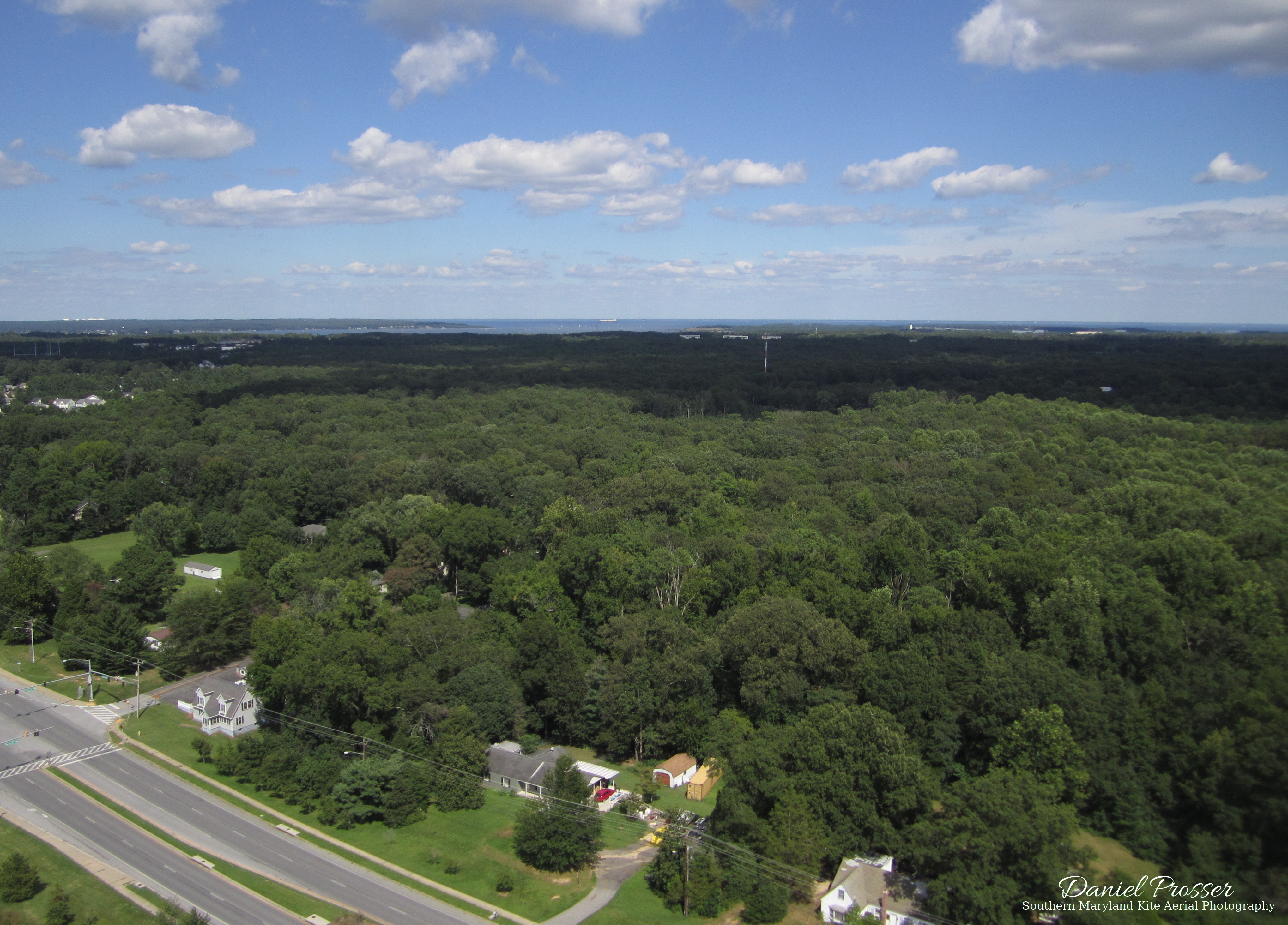
I pointed the rig so that it would be facing east towards the Patuxent River, the Chesapeake Bay, and Solomon’s Island. The picture above is the best one I got from that angle. The foreground contains Chancellors Run Rd. and a lot of trees. In the distance, the south end of Solomon’s Island is visible, along with the Patuxent River, the Chesapeake Bay, and even the control tower for the Patuxent River Naval Air Station. There’s also a big boat out there in the Bay.
Rather than flying higher, I decided to bring the rig down and rotate it 180 degrees. St. Mary’s Lake is a few miles west of Chancellors Run Park, and I wanted to see if it was visible from here. Having the camera pointed that direction meant that sometimes it was pointing towards me, resulting in my first KAP selfie!

I really like this image, because it gives a unique view of the park from the height of the stadium lights. Plus, with the kite line in view, there’s no mistaking it for a drone photo.
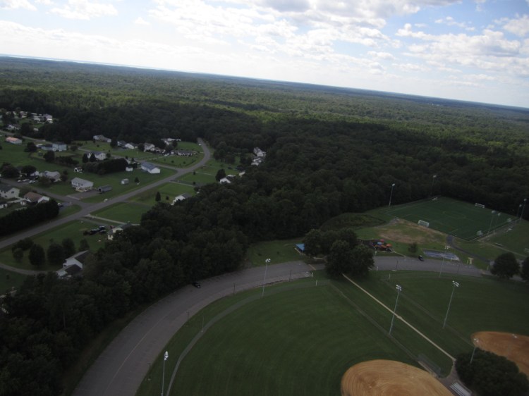
It turned out that the views to the west were not that exciting. The sun was in that direction, so the landscape was backlit, and it was hard to make out details in the distance. I think St. Mary’s Lake is visible in the first picture below, but there’s not much else interesting about it. Hence why I didn’t bother rotating it or uploading the high-resolution version. In the future, if I want to try again to capture the lake from this park, I’ll need to fly in the morning when the sun is in the east, get the camera as high as possible, and try to get most of the pictures more towards the southwest instead of the northwest.
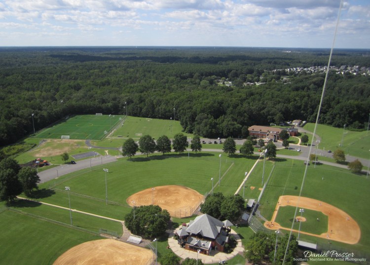
My favorite picture from this session was the second one above, which shows the park from a few hundred feet in the air. There’s a baseball game going on in the adjacent field; I hope the kite didn’t distract them too much! Anyway, this was a fun and successful session, and I have some ideas for pictures I want to take when I come here park again.
